
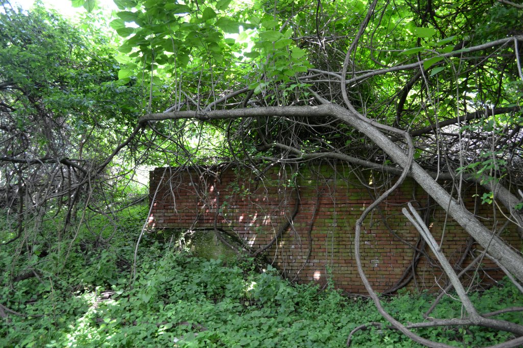
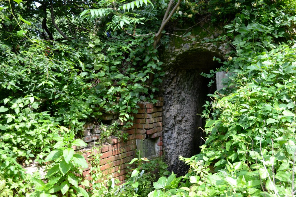
Yesterday, six intrepid explorers ventured out of the western sallyport of Fort Mifflin on a survey mission to map a path to the High Batteries. It was a rough day weather-wise but our surveyors persevered to not only find these ruins but to do so with a high degree of accuracy.
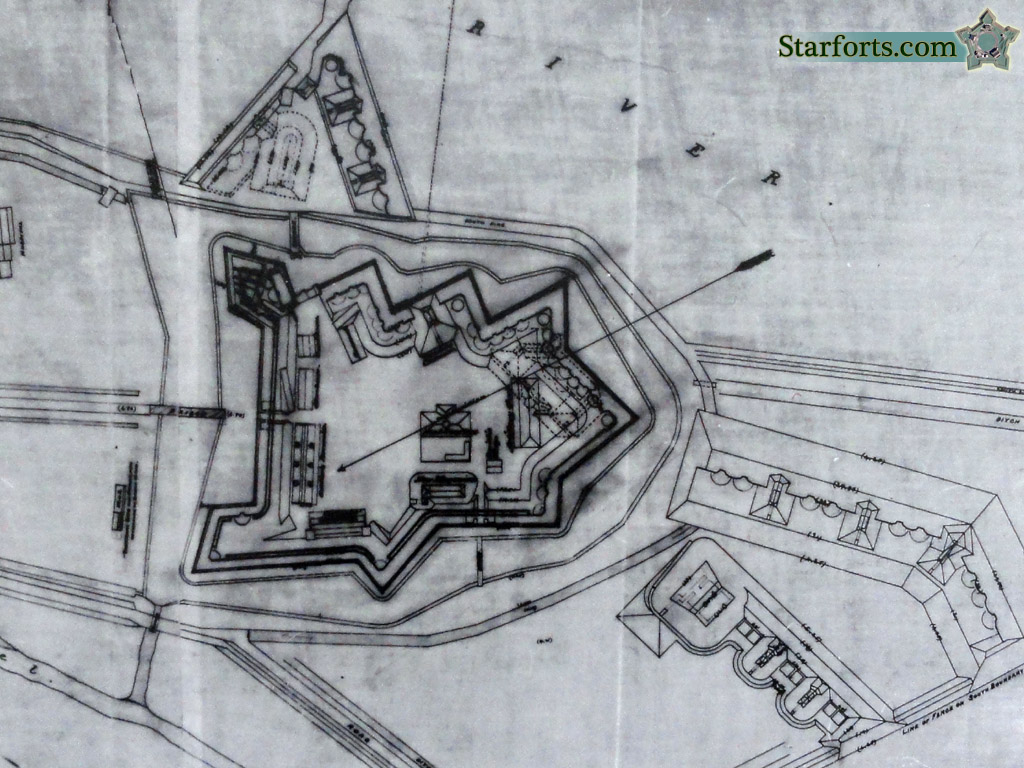
Between 1866 and 1876, the Army Corps of Engineers intermittently repaired and modernized Fort Mifflin and upgraded its armament. During this time the army worked on the detached high battery south of the fort but never finished it. There are four casemates in various states of construction and some high walls.
Our team mastered the sighted compass and the Gunter’s chain as they braved the less civilized portions of Fort Mifflin and plotted a path to these ruins. Once we had their survey data, we returned to the shelter of the fort and made maps and reckoned the routes using 18th Century computational equipment.
If you missed this opportunity but think you can measure up to men from the 18th Century like George Washington, Jerimiah Dixon, and Meriwether Lewis you can join the Colonial Surveyor at Carpenter’s Hall on July 10th (10am-4pm) or come to the fort in December when we repeat this class.

I wish I could have been there! Would have loved it!
LikeLike
Of course it rained all day and it was cold for May (about 50F). You would have “loved” to have been there…
LikeLike